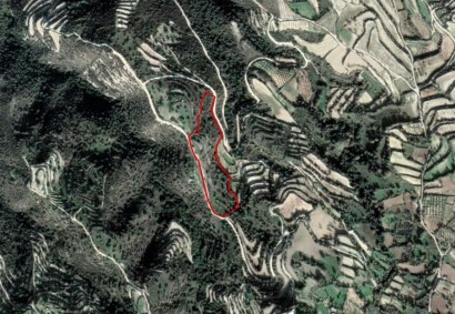
Agricultural Land Ref. C2829
The property is located east of Koili village and west of the road. The property has a total area of 15,185sqm, an irregular shape with a sloping surface, and a dirt road along its east border. The immediate area contains agricultural and undeveloped land. It has the potential to be covered by all utility services. The property falls within an agricultural planning zone with 10% building density, 10% coverage, 2 floors and a maximum height of 8,3m. All urban features should be checked by the proper authorities. The seller has the right to review the selling prices.